
 Runic stones
Description
Lokaliteten findes under Kulturstyrelsens projekt "Danmarks Oldtid i Landskabet".
Klik HER for at åbne lokaliteten - DOL ( I nyt vindue)
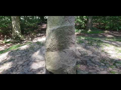
Se også fortællingen af Lisbeth Imer fra Nationalmuseet om de danske runesten herunder:

Video
Aerial Photo
Orthophoto © Agency for Data Supply
Remember when visiting
- Keep dogs on a leash — avoid contact with grazing animals
- Avoid wear damage and always follow signage
- Never dig at or near ancient monuments
- Be aware of fire hazards — never use open flames
- Contact the supervisory authority in case of damage or problems
Administration
- Ownership
- -
- Created
- 2021
- Last edited
- 03-2021
- Inspection and damage
- -
- Care, signage and 100m zone
- -
- Protection no.
- -
- Site no.
- -
Find the monument with GPS
- GPS:
-
Longitude: 10.292942Latitude: 55.509712
Vidste du...
Runestenen ved Glavendrup på Fyn har Danmarks længste runeindskrift med 210 tegn og en forbandelse mod enhver, der fjerner stenen.
Runesten