

 Fortification
Description
The medieval semi-circular rampart at Pedersborg
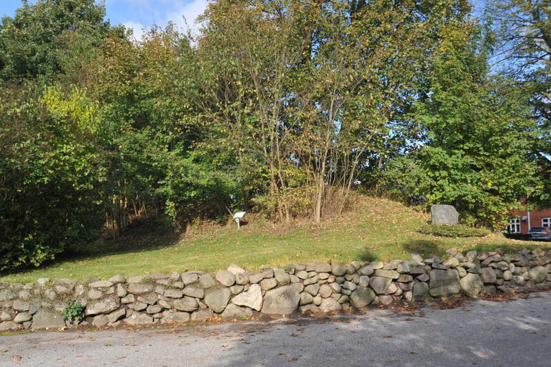
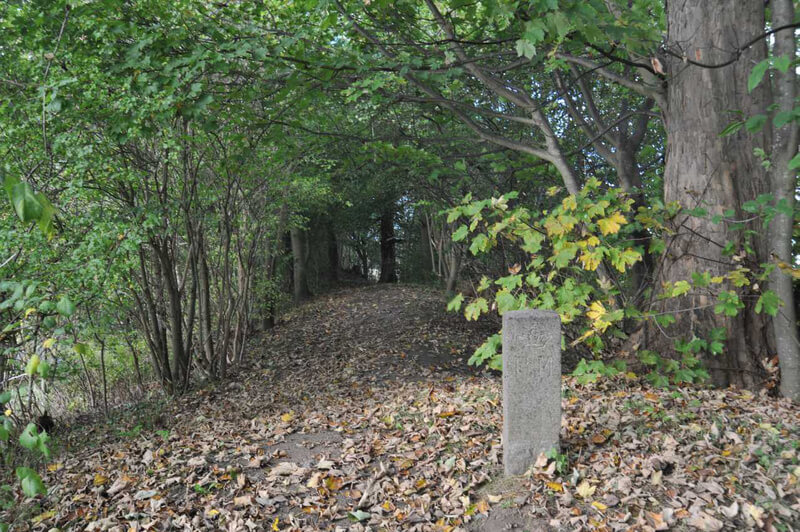
Peders Thorstensøn's private castle on the hill by Pedersborg Church is not the only trace of early medieval settlement in the area. At that time, the flat area west of the church – known as "Præsteeng" – was also built up, and an area of approximately 3.6 hectares north of Pedersborg Lake was surrounded by a protective 300-meter-long, 4-meter-high, and up to 20-meter-wide semi-circular rampart.
The details surrounding the construction of the rampart are not yet known, and several people have therefore pointed out the similarity to the Viking Age semicircular ramparts surrounding early towns such as Hedeby, Ribe, and Aarhus. However, no finds from this period have yet been made at Pedersborg. Furthermore, a C-14 sample from a section through the rampart dated to the late Bronze Age, around 600 BC, suggests that the history of the rampart and the use of the site is far more complex than simply belonging to Peder Thorstensøn's private castle from the early Middle Ages.
The private castle, the rampart, and the area around Pedersborg can therefore be assumed to have great potential for future archaeological investigations. The castle is also one of the very few private castles known from this period, and future investigations can rightly be expected to provide new knowledge about the castle's function and significance during the turbulent period of internal power struggles in Denmark prior to Valmemar the Great becoming sole king in 1157.
Access
- Follow Holbækvej north out of Sorø.
- At Tuelsø and Pedersborg Sø, near Holbækvej no. 124, turn left onto Kirkevænget towards Pedersborg Church.
- Park in the parking lot west of the church at Kirkevænget 4, 4180 Sorø.
Facilities
- Information boards at the round church ruins north of the church and at the ends of the castle ramparts at the vicarage and at Pedersborg Lake/Præsteengen.
- Approximately 150 meters on foot from the parking lot at the church.
Special
- Dogs must always be kept on a leash in the area.
- The steps on the sides of the castle ramparts are not suitable for people with walking difficulties.
Directions


Aerial Photo
Remember when visiting
- Keep dogs on a leash — avoid contact with grazing animals
- Avoid wear damage and always follow signage
- Never dig at or near ancient monuments
- Be aware of fire hazards — never use open flames
- Contact the supervisory authority in case of damage or problems
Administration
- Ownership
- State-owned, Ministry of Church Affairs
- Created
- 2021
- Last edited
- 02-2026
- Inspection and damage
- -
- Care, signage and 100m zone
- Sorø Municipality
- Protection no.
- 3523 -13
- Site no.
- 040109-52
Find the monument with GPS
- GPS:
-
Longitude: 11.553814Latitude: 55.452463
- UTM system:
- E 564916 N 6232146
Nearby


Vidste du...
Danmarks første lov om fredning af fortidsminder blev vedtaget i 1937 og beskytter alle synlige fortidsminder i landskabet.
Fredning & Lovgivning