


 Church/monastery
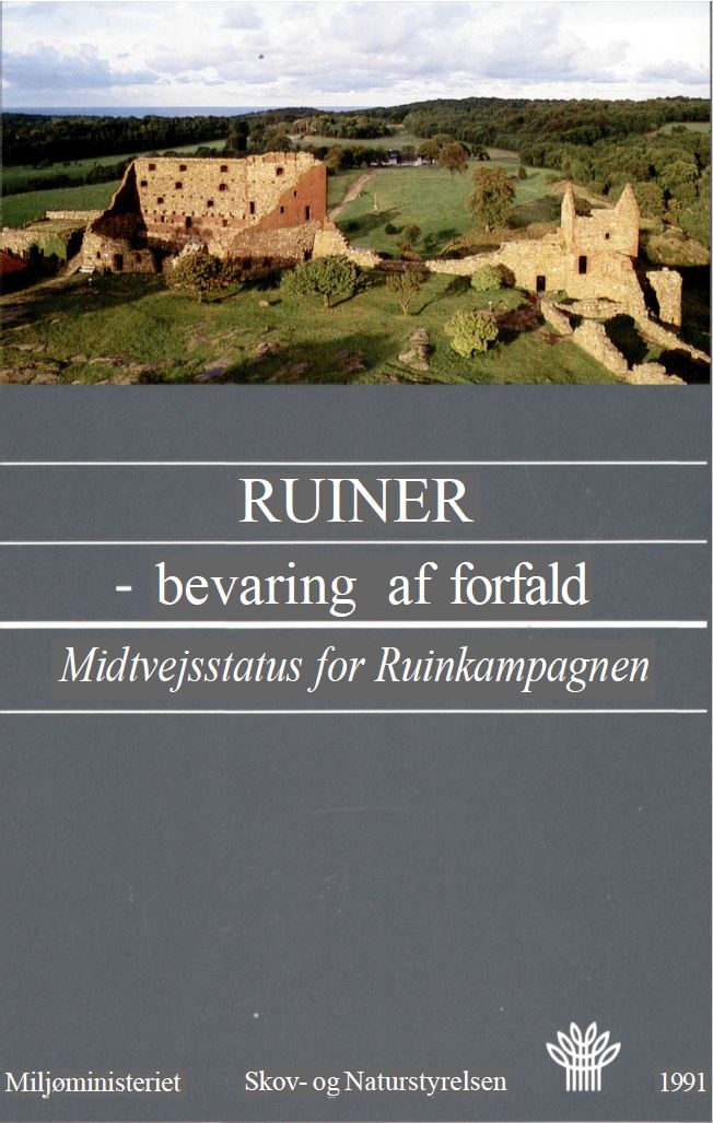
Description
In the lush grassland at the southeast end of Alling Lake near Grønbæk, the Benedictine order built a monastery around 1250. Alling Monastery is perhaps the last Benedictine monastery to have been built in Denmark.

The monastic movement in Denmark originated in the Catholic Church and was divided into various monastic orders: the Augustinians, Benedictines, Cistercians, Franciscans, and Holy Spirit Order all built monasteries in Denmark, and during the Middle Ages more than 100 monasteries were established.
In Aarhus County, the monasteries are particularly concentrated along the Gudenå river system. Most monasteries disappeared after the Reformation. In addition to Alling Monastery, there were monasteries at Ring, Kalvø, Vor, Vissing, Øm, Veng, Sminge, Søby, Tvilum, Vejerslev, and Randers. The reason so many monasteries were built here was mainly due to the rich fishing grounds in the Gudenåen river, which could satisfy the strict fasting rules that the monks of the monasteries were subject to. Another important factor was that the Gudenåen river and the lakes could supply water power for, for example, milling and paper production.
Throughout the Middle Ages (1050-1536), the monasteries amassed enormous fortunes – both in terms of land holdings and hard cash – thanks to markets, hospital operations and, not least, gifts and inheritances.
At Alling Monastery, the ruins of the old monastery were uncovered through archaeological investigations by the National Museum in 1894 and 1942, and in 1989, the monastery's floor plan was clarified with protective turf embankments, which now conceal the otherwise exposed masonry.
Prior to Alling Abbey, there was a monastery in Vejerslev, about 8 km northeast of Alling Lake. When it was closed down around 1250, the monks from there were transferred to Alling Abbey, and the buildings at Vejerslev Abbey have since served as a parish church.
Alling Abbey functioned for almost 300 years until the Reformation in 1536, when the monastic movement was dissolved. The monastery's rich land holdings then became the property of the king and were, in practice, incorporated into Silkeborg Castle. The monastery buildings were probably demolished shortly thereafter, and the high-quality monk bricks were likely reused in many local construction projects.

The monastery buildings followed an almost identical plan. It consisted of a four-winged complex surrounding the monastery courtyard. Along the inside of the buildings ran a narrow corridor – the so-called fratergang – and the central building was, of course, the monastery church, which formed the south wing.

To the east was the monks' meeting hall – the so-called chapter house – below the brothers' dormitory on the first floor. To the north were the kitchen and dining hall, and in the west wing lived the lay brothers, who carried out most of the practical work in and around the monastery. In addition, there were various outbuildings, fish ponds, and canals around the monastery, all of which have now disappeared.

Alling Monastery was, then as now, isolated by the lake. Forest and lush grasslands surround the monastery, and a dug canal provided water to the monastery.

When visiting the site today, you must take the forest road from the country road to the east, from where a path leads to the monastery ruins by the lake.


Access
- Adgang sker til fods fra dalen ved Allingålyst mellem Grauballe og Grønbæk på vej 46: Randers Silkeborg.
- Der parkeres bag busstoppestedet ret før amtsgrænsen mellem Århus og Viborg amt.
- Følg skovvejen ret syd for den gamle bro ca. 700 m vestover til sydøstenden af Alling Sø, hvor en trampesti fører ned over markerne til klostertomten.
Faciliteter
- Informationsskilt ved den græstørvsmarkerede klosterruin.
- Afstand til fortidsminde: ca. 1 km.
Særlige forhold
- På skovvejene er det kun tilladt at færdes til fods eller på cykel.
Directions


Aerial Photo
Remember when visiting
- Keep dogs on a leash — avoid contact with grazing animals
- Avoid wear damage and always follow signage
- Never dig at or near ancient monuments
- Be aware of fire hazards — never use open flames
- Contact the supervisory authority in case of damage or problems
Administration
- Ownership
- State-owned
- Created
- 2021
- Last edited
- 02-2026
- Inspection and damage
- -
- Care, signage and 100m zone
- The Danish Forest and Nature Agency
- Protection no.
- 2310-16
- Site no.
- 130310-60
Find the monument with GPS
- GPS:
-
Longitude: 9.606959Latitude: 56.266954
- UTM system:
- E 537593 N 6235957

Vidste du...
I bronzealderen ofrede man dyrebare genstande i moser og søer som gaver til guderne, en tradition der varede i over 1.000 år.
Bronzealder